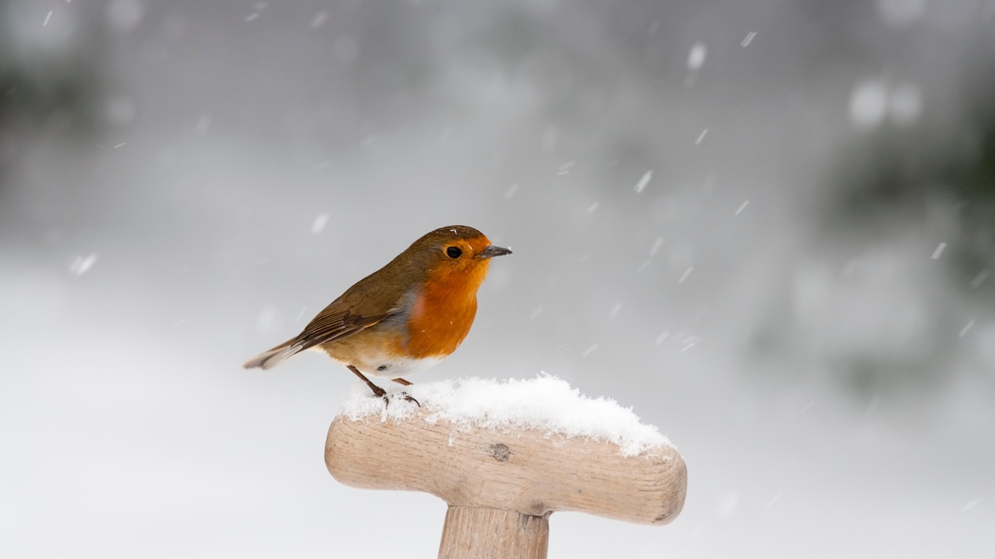
People all over the country absolutely lost their minds yesterday as SNOW fell in the UK.
Yup, at the end of April. Baffling.
The chilly blast was all thanks to a blast from the Arctic bringing us a springtime treat of thundersnow, sleet, hail and ice.
And now forecasters have warned that the wintry spell could be set to last until the end of the May Bank Holiday Weekend.
With temperatures dipping down to freezing in some places last night, they have also predicted that the UK could set to become even chillier than Greenland and Siberia.
Brr. That’s our May Day sunbathing plans out the window, then!
Lindsay Mears of the Met Office said: “The outlook for the next couple of days is still cold with the risk of overnight frosts and wintry showers in parts.
“For Wednesday and Thursday it is a similar picture to the start of the week with cold Polar Maritime air coming down from the north.
“There is a slight change for the weekend with winds coming from the Atlantic bringing slightly milder but wetter conditions."
While settling snow will probably be very temporary, the Met Office also warned that many roads will not have a chance to warm up, and may then remain wet until temperatures fall below freezing overnight.
They said: “Please be aware of possible tricky driving conditions, especially over the hills.”
In short?
It’s going to be COLD this week, with wintry showers and frosty nights to contend with.
We recommend treating yourself to a mug of hot chocolate, and fishing out your cosiest jumpers and fluffy blankets.
Did you get caught in the snow yesterday?
Tell us about it via Facebook or Twitter (@CloserOnline) now.
