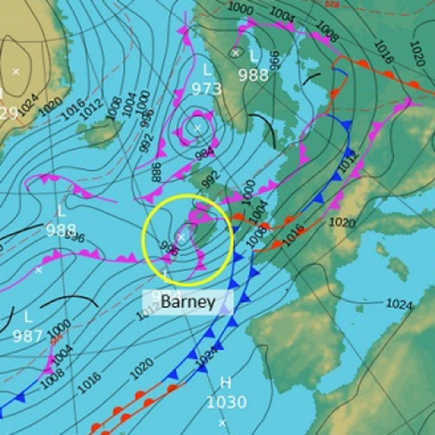
Parts of the country will be hit by gales of up to 80mph and heavy rain, as temperatures plummet to the mid-teens.
The Met Office has issued a yellow ‘be aware’ warning for strong winds for parts of south, central and east England for Tuesday afternoon, taking us into the evening.
Travellers have been warned to expect disruption on the roads and rail.

Meanwhile Craig Woolhouse, from the Environment Agency has said: ‘The public should remain alert to the risk of flooding and stay away from raging rivers.’
Storm Barney comes just a week after Storm Abigail left more than 20,000 homes without power, and closed schools in some northern parts of the U.k.
The storm is a result of low pressure systems coming in from the Atlantic, bringing rain and strong winds.
Eddy Carroll, Chief Meteorologist at the Met Office, said: "Storm Barney is expected to be a fast moving storm system bringing a few hours of severe gales to southern parts of Britain later this afternoon and evening. It brings the potential for travel disruption and could bring down trees.
"With the strength of the winds, large waves could also affect some coastal areas."
The Met office also warned the public to expect much colder weather than we have been experiencing, starting from the middle of the week.
There could be frost and ice for many overnight, which most of the country have not yet experienced this autumn.
